 http://freegeographytools.com/wp-content/uploads/2007/09/doq-thumb.jpg
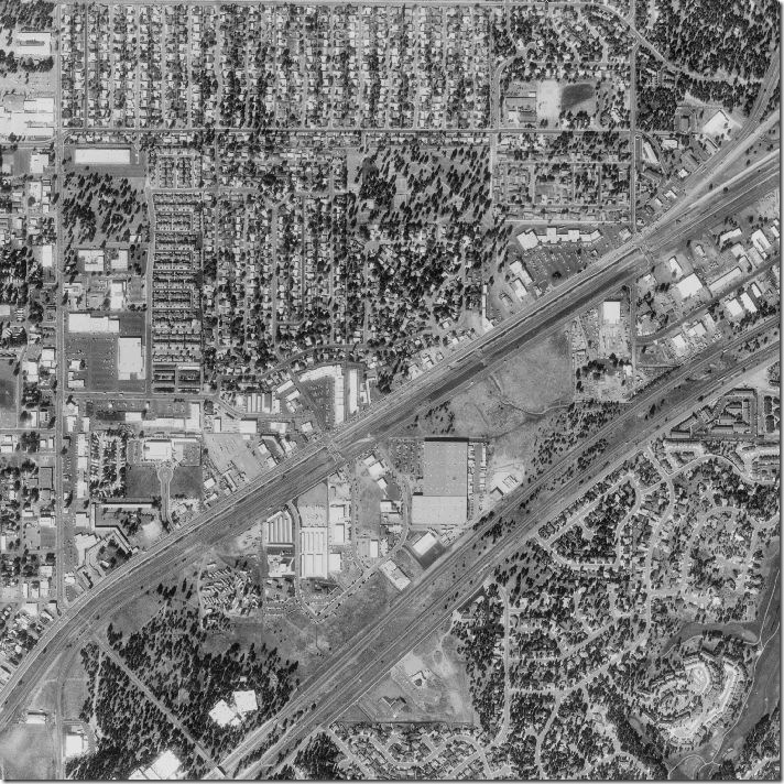
Black and white aerial photo:
Black and white Aerial photography is the taking of photographs of the ground from an elevated position. The term usually refers to images in which the camera is not supported by a ground-based structure. Aerial photographs have been a main source of information about what is at the Earth's surface almost since the beginning of aviation more than 100 years ago.
No comments:
Post a Comment