http://www.map-of-europe.us/europe-topo-map.gif
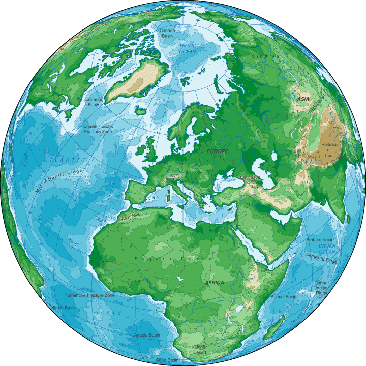
Topographic Map
A map depicting terrain relief showing ground elevation, usually through either contour lines or spot elevations. The map represents the horizontal and vertical positions of the features represented.Some of them use color gradients. Topography maps are used by hunters, hikers,scientists, serach and rescue teams, anglers, the military and many others. Topography maps, more formally known as topographic maps and less formally referred to as "topo" maps, have been produced for all 50 US states and other countries around the world.
No comments:
Post a Comment