Wednesday, January 28, 2009

3.) Topographic map


http://www.map-of-europe.us/europe-topo-map.gif


Topographic Map

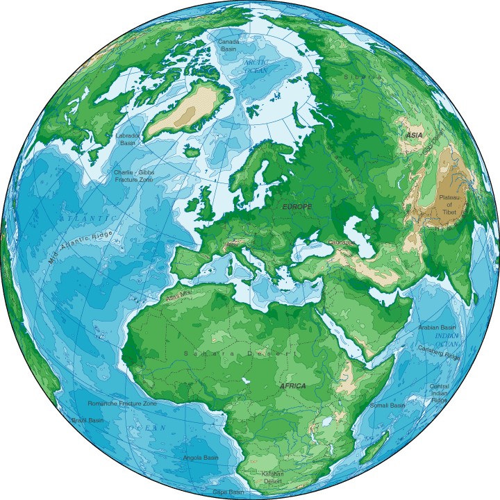
A map depicting terrain relief showing ground elevation, usually through either contour lines or spot elevations. The map represents the horizontal and vertical positions of the features represented.Some of them use color gradients. Topography maps are used by hunters, hikers,scientists, serach and rescue teams, anglers, the military and many others. Topography maps, more formally known as topographic maps and less formally referred to as "topo" maps, have been produced for all 50 US states and other countries around the world.


Wednesday, January 21, 2009

2.) Planimetric Map

Planimetric Map

A map indicating only the horizontal positions of features, without regard to elevation, in contrast with a topographic map, which indicates both horizontal and vertical positions. Also known as "line map".


http://www.ncdot.org/doh/PRECONSTRUCT/highway/photo/Products/images/Planimetric_map.jpg


Other Type of Planimetric Map


Planimetric maps are digital, graphic maps that portray the horizontal position of planimetric features using lines and symbols.


http://www.uwsp.edu/geo/projects/geoweb/participants/dutch/GeoPhotoVtrips/Agawa/Agawa1.gif

Wednesday, January 14, 2009

1.) Mental Map


http://www.fedstats.gov/kids/mapstats/graphics/mental.jpg

MENTAL MAP

A "mental map" can best be explained as a visual display, inside a person's head, showing where a person has traveled in the past or where they are in the present. A mental map shows what the person knows about the location and the uniqueness of a place. No mental map is alike. Every person has his or her own mental map "image". Mental Maps are representations of the real world. There might be a degree of error in determining ones position, but that is why is a mental map.